
Page 381 - City of Arlington FY19 Adopted Operating Budget
P. 381
Put Technology to Work
Goal 1: Ensure Availability of Information, Programs, and City Services
Objective 1: Provide for the Efficient Access and Appropriate Management of the City’s Data
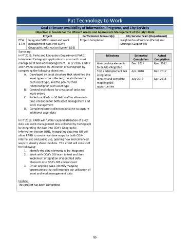
Project Performance Measure(s) City Service Team (Department)
PTW Integrate PARD’s asset and work Project Completion Neighborhood Services (Parks) and
1.1.9 management data into COA’s Strategic Support (IT)
Geographic Information System (GIS)
Summary:
In FY 2015, Parks and Recreation Department (PARD) Milestone Estimated Actual
introduced Cartegraph application to assist with asset Completion Completion
management and work management. In FY 2016, and FY Identify data elements Dec. 2017 Nov. 2017
2017, PARD expanded its utilization of Cartegraph by to be GIS integrated
completing the following objectives: Test and implement GIS Apr. 2018 Dec. 2017
A. Developed an asset structure that identified the integration
asset types to be collected, the attributes for Identify and complete July 2018 Apr. 2018
each asset type, and the parent/child mapping/GIS
relationship for each asset type opportunities
B. Created work flows for creation of tasks and
work orders
C. Rolled out iPads to 50 field staff to allow real‐
time utilization for both asset management and
work management
D. Completed asset collection initiative to capture
additional asset data
In FY 2018, PARD will further expand utilization of asset
data and work management data collected by Cartegraph
by integrating the data into COA’s Geographic
Information System (GIS). Integrating data into GIS will
allow PARD to create real‐time maps for both COA‐
internal use and public use, opening new and enhanced
ways to visually share the data. This effort will consist of
the following:
1. Identify the data elements to be integrated
2. Work with COA’s GIS team to test and then
implement integration of identified data
elements into COA’s GIS environment
3. On an ongoing basis, identify mapping
opportunities that will improve our utilization of
asset and work management data
Update:
This project has been completed.
50