
Page 326 - Keller Budget FY21
P. 326
INFORMATION TECHNOLOGY FUND
GEOGRAPHIC INFORMATION SERVICES DIVISION
(119-180-19)
DEPARTMENT DESCRIPTION:
The Geographic Information Systems (GIS) division is under the general direction of Information Technology Director. GIS
provides geographic information and geographic data management services to all City departments. The City's GIS operates
to help analyze City infrastructure and assist citizens and employees in making informed decisions regarding existing
conditions and future needs. The GIS division supports Property Assessment, Public Safety, Economic Development,
Permitting, Capital Improvements, Environment, Transportation, Public Works Asset Management, and many other issues
related to City government. Specific services include system integration strategies, software and data needs analysis, software
support, data analysis, data conversion, map production, interactive map web pages, and geographic database management.
DEPARTMENT/DIVISION GOALS:
1. Promote GIS technologies to help with decision making.
2. Provide users with easily accessible information in a common format.
3. Cost effective and sustainable use of GIS technology.
4. Integration of GIS with other core business processes.
5. Promote the use of GIS to increase citizen engagement.
DEPARTMENT/DIVISION OBJECTIVES:
1. Manage a centralized GIS database management system to ensure data integrity, accuracy and reliability of citywide
infrastructure.
2. Implement web technologies to provide end users with readily available data and tools.
3. Increase productivity and work efficiency by providing effective GIS solutions to streamline City processes in and between
departments.
4. Standardize methodologies and techniques in GIS for a successful integration with other products.
5. Provide an easy to use platform that enables the city to communicate more effectively with the communities.
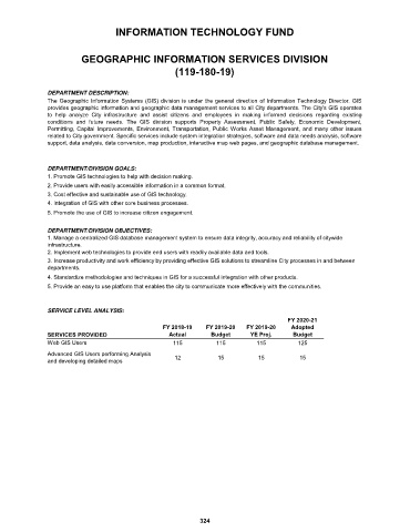
SERVICE LEVEL ANALYSIS:
FY 2020-21
FY 2018-19 FY 2019-20 FY 2019-20 Adopted
SERVICES PROVIDED Actual Budget YE Proj. Budget
Web GIS Users 115 115 115 125
Advanced GIS Users performing Analysis
and developing detailed maps 12 15 15 15
324