
Page 434 - ClearGov | Documents
P. 434
City of Mansfield Annual Budget and Service Program Fiscal Year 2025-2026 Table of Contents
Geographic Information Systems (GIS)
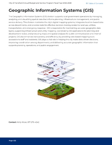
The Geographic Information Systems (GIS) division supports local government operations by managing,
analyzing, and visualizing spatial data that informs planning, infrastructure management, and public
service delivery. This division maintains the city’s digital mapping systems, integrates location-based data
across departments, and provides tools for effective decision-making related to land use, utilities,
transportation, and emergency response. GIS is responsible for maintaining accurate geographic data
layers, supporting infrastructure and utility mapping, coordinating GIS applications for planning and
development review, and producing maps and spatial analyses for public communication and internal
projects. GIS also enhances transparency and efficiency by providing web-based mapping tools
accessible to staff and residents. GIS plays a vital role in helping the city make data-driven decisions,
improving coordination among departments, and delivering accurate geographic information that
supports planning, operations, and public engagement.
Contact: Kelly Klose, 817-276-4242
Page 432